mapLoubère's Siam, 1693
สยามของลูแบร์ 2236
The oldest sheet here, and there is no Chiang Mai on it.
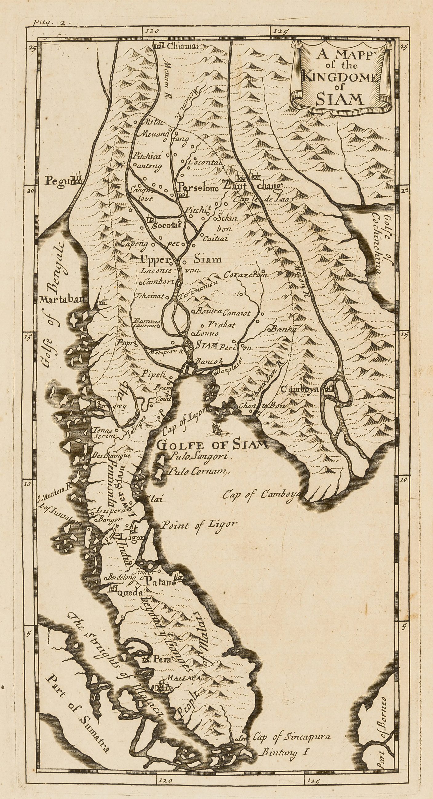 Simon de la Loubère · Public domain
What it is
Simon de la Loubère's map of Siam, English edition, from the account of his embassy to Ayutthaya. Lanna was not Siam in 1693 and the north of this map is guesswork. It is here as the base line: the first European drawing of the kingdom this city would later be governed from.
The long version
Inference — for two hundred years after this map the way to reach Chiang Mai from Bangkok was the river, and the maps show it: water is drawn, land routes are not. The road network of this province begins on paper in the 1880s, with Pavie and McCarthy.
Connected to
- Pavie's itineraries, 1880–1884 Where the land routes start.
Where each claim comes from
| Field | Tier | Source | Note |
|---|---|---|---|
| default | cited | Wikimedia Commons — the map and photograph files, each with its own licence on its file page — Wikimedia Commons | |
| text_th | inference | written in Thai by this project, in the northern register where it fits; not machine-translated | |
| text.story | inference |
Sources
- Wikimedia Commons — the map and photograph files, each with its own licence on its file page — Wikimedia Commons
cited Cited — a named source, linked · harvested Harvested — fetched from an open dataset, with its licence · tradition Tradition — general knowledge of the tradition, hedged · inference Inference — this project's own reasoning from the above · field Field — someone stood there