mapMcCarthy's Siam, 1900
สยามของแม็กคาร์ธี 2443
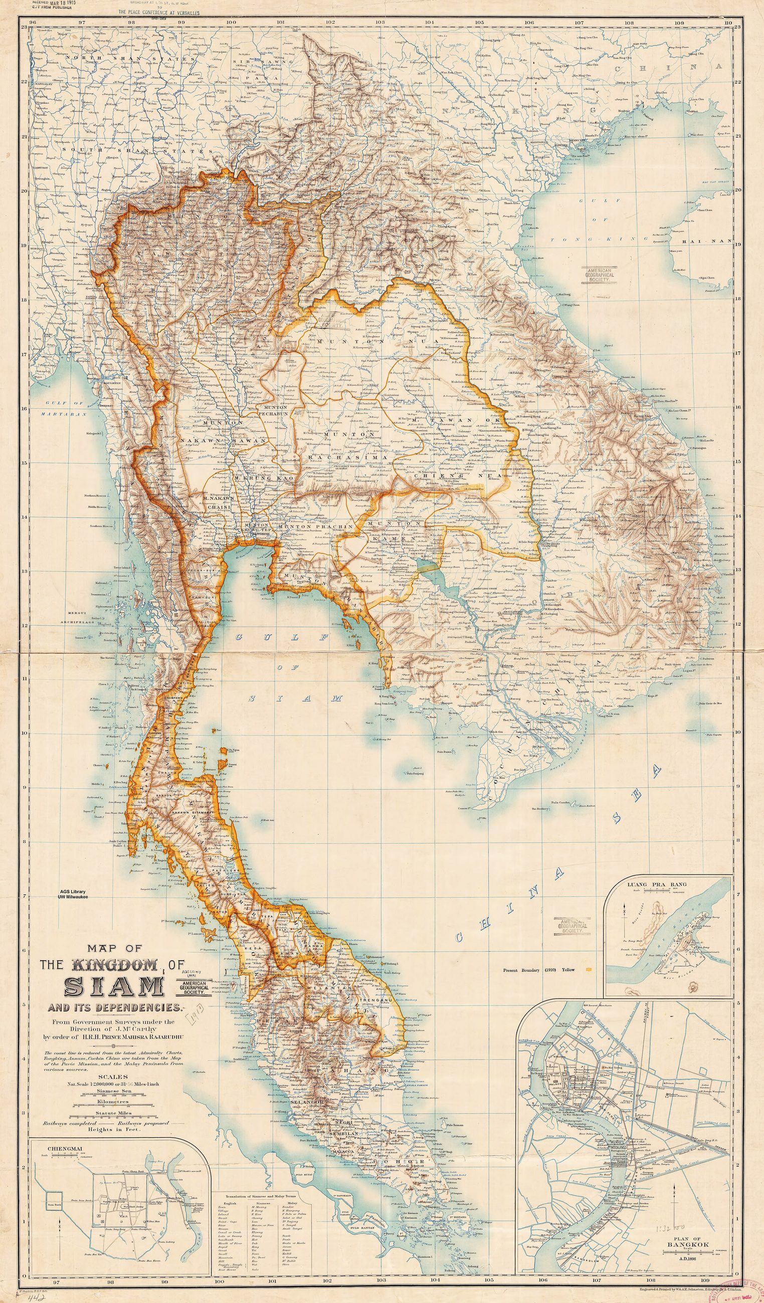
Twelve years later, ordered by a prince, and the north is inside the line.
 James Fitzroy McCarthy (1853–1919) · Public domain
What it is
The second McCarthy sheet, from government surveys by order of a Siamese prince. Between this map and the last one the north stopped being a dependency and became Monthon Phayap, administered by a high commissioner from Bangkok. The commissioner of that decade is the one who had the yang trees planted and the Hang Dong road built.
Connected to
- Chao Phraya Surasi Wisitsak The commissioner.
- The Yang Tree Road, Chiang Mai to Lamphun What he had planted.
Named here by
- McCarthy's Siam, 1888 His later sheet.
Where each claim comes from
| Field | Tier | Source | Note |
|---|---|---|---|
| default | cited | Wikimedia Commons — the map and photograph files, each with its own licence on its file page — Wikimedia Commons | |
| text_th | inference | written in Thai by this project, in the northern register where it fits; not machine-translated |
Sources
- Wikimedia Commons — the map and photograph files, each with its own licence on its file page — Wikimedia Commons
cited Cited — a named source, linked · harvested Harvested — fetched from an open dataset, with its licence · tradition Tradition — general knowledge of the tradition, hedged · inference Inference — this project's own reasoning from the above · field Field — someone stood there