mapMcCarthy's Siam, 1888
สยามของแม็กคาร์ธี 2431
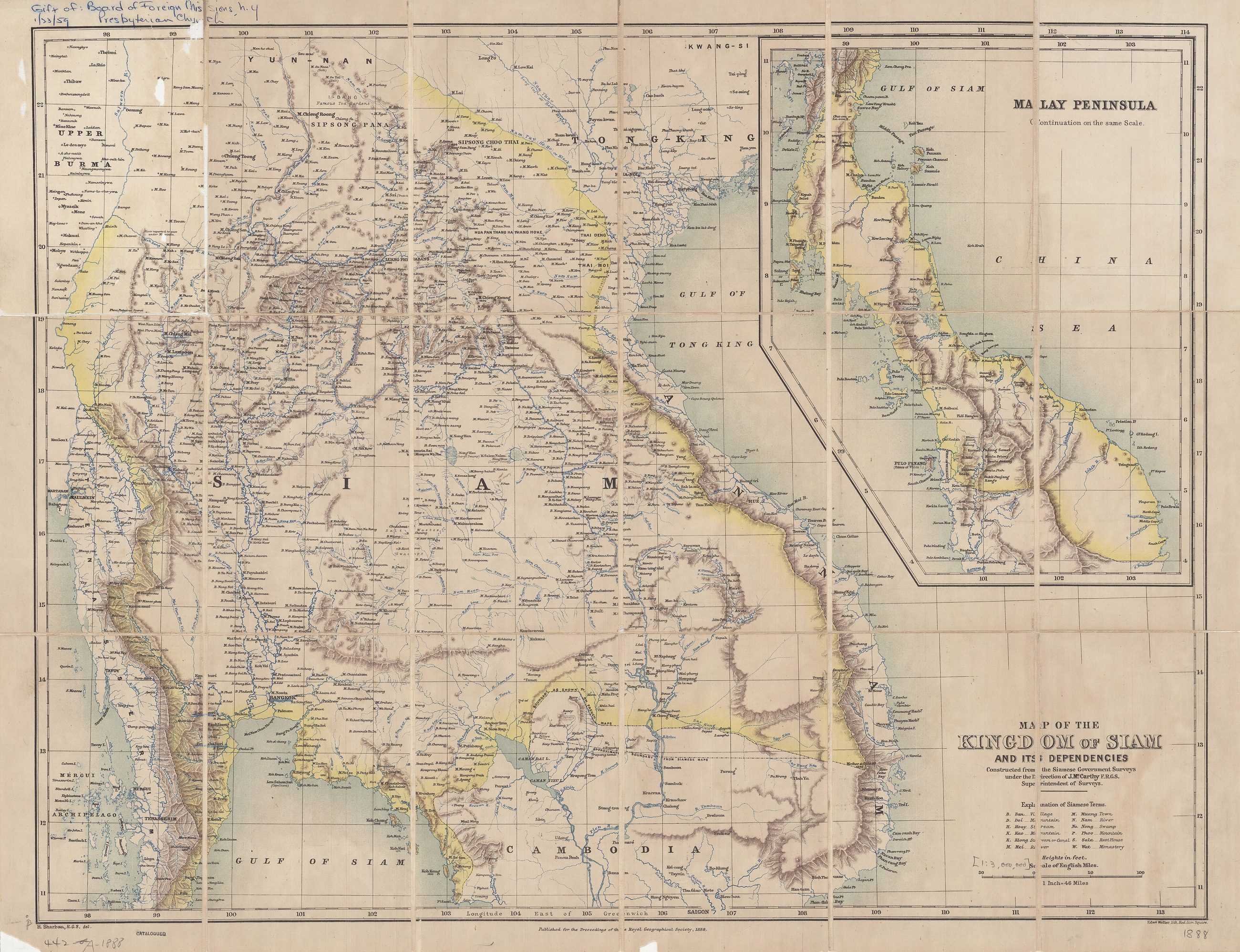
The first survey, made for Siam by an Englishman, with the north still a dependency.
 James Fitzroy McCarthy (1853–1919), Henry Scharbau (1822–1902), Edward Weller (1819 – May 1884) · Public domain
What it is
James McCarthy's map of the kingdom and its dependencies, from government surveys under his direction. Its dependencies are Laos, part of Cambodia and the northern Shan States. Chiang Mai appears on it as a place in a tributary state, six years after the yang trees went in on the Lamphun road.
Connected to
- McCarthy's Siam, 1900 His later sheet.
- Chao Phraya Surasi Wisitsak The commissioner of the same decade.
Named here by
- Pavie's itineraries, 1880–1884 The survey that followed.
Where each claim comes from
| Field | Tier | Source | Note |
|---|---|---|---|
| default | cited | Wikimedia Commons — the map and photograph files, each with its own licence on its file page — Wikimedia Commons | |
| text_th | inference | written in Thai by this project, in the northern register where it fits; not machine-translated |
Sources
- Wikimedia Commons — the map and photograph files, each with its own licence on its file page — Wikimedia Commons
cited Cited — a named source, linked · harvested Harvested — fetched from an open dataset, with its licence · tradition Tradition — general knowledge of the tradition, hedged · inference Inference — this project's own reasoning from the above · field Field — someone stood there