traffic figureHow far the city spread
เมืองแผ่ไปไกลแค่ไหน
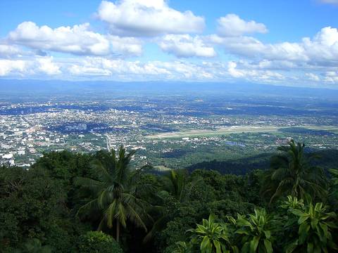
13 km² built up in 1952; 137 km² in 2009. Ten times, in the lifetime of one yang tree.
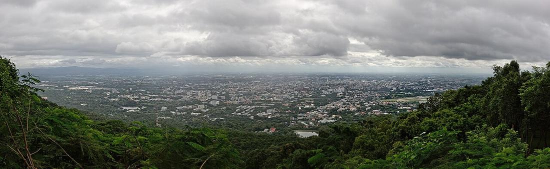 Pratyeka · CC BY-SA 4.0
How it was counted. Abstract figures from a peer-reviewed Landsat study; a second study's 339 km² for 2000 uses a different boundary and is not mixed in.
What it is
A Chiang Mai University study of Landsat scenes puts the built-up area at 13 km² in 1952 and 137 km² in 2009. Within the comprehensive-plan boundary, urban land went from 10.6 percent in 1989 to 12.1 in 2000 and 18.3 in 2009, with a model projecting 38 percent in 2010 to 80 percent in 2030; buildings rose a third between 2000 and 2013, a fifth of the growth outside zoned areas. The metropolitan area is put at 1,059,462 people over 3,142 km² in 2024.
The long version
Inference — every ring on this site was drawn around a city a fraction of this size. The outer ring was fixed in 1989, when the built-up area was a tenth of the plan boundary; by the time it closed the city was at the ring.
Connected to
- 1984–2006 — the rings When the rings were drawn on it.
- The Yang Tree Road, Chiang Mai to Lamphun The tree.
Where each claim comes from
| Field | Tier | Source | Note |
|---|---|---|---|
| default | cited | Urban growth of Chiang Mai from Landsat, 1952–2009 — Sangawongse, J. Social Sciences CMU 21(1) — Chiang Mai University | |
| text_th | inference | written in Thai by this project, in the northern register where it fits; not machine-translated | |
| text.story | inference |
Sources
- Urban growth of Chiang Mai from Landsat, 1952–2009 — Sangawongse, J. Social Sciences CMU 21(1) — Chiang Mai University
- Chiang Mai land use and SLEUTH projection — Urban Planning 2(1), 2017 — Cogitatio
- Chiang Mai Metropolitan Area — Wikipedia (en)
cited Cited — a named source, linked · harvested Harvested — fetched from an open dataset, with its licence · tradition Tradition — general knowledge of the tradition, hedged · inference Inference — this project's own reasoning from the above · field Field — someone stood there