era1984–2006 — the rings
2527–2549 — ยุควงแหวน
Two more rings are drawn on a plan, and take twenty years to build.
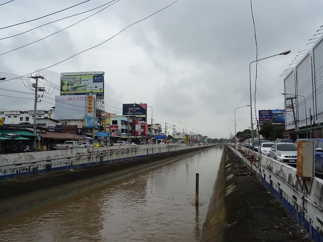 Christophe95 · CC BY-SA 4.0
What it is
The first comprehensive plan, 1984, lays out the middle and outer rings; Interior Ministry Regulation 78 of 1989 fixes them. The outer ring, Route 121, is begun 1994 by the Lampang highway centre, stalls on land and the 1997 crash, and is closed as a 52.96 km loop through the 2000s. The middle ring, the 700 Years Road, is broken ground the same year, 26.13 km with seven underpasses and one interchange, and opened 6 February 2006 at 10,070 million baht including land. Route 11 is widened to four lanes from 2001; Mahidol from two to six in 1998–2001.
The long version
Inference — the thesis this rests on carries the number that explains the decade: main-road kilometres in the city went from 36.5 to 60.3 between 1992 and 2003 while registered vehicles went from 465,659 to 933,733. The roads grew by two-thirds; the vehicles doubled.

Connected to
- Ring 2, the 700 Years Road The middle ring.
- Ring 3, Route 121 The outer ring.
- Roads versus vehicles, 1992 to 2003 The number.
Named here by
- How far the city spread When the rings were drawn on it.
- Roads versus vehicles, 1992 to 2003 The decade.
Where each claim comes from
| Field | Tier | Source | Note |
|---|---|---|---|
| default | cited | การขยายตัวของเมืองเชียงใหม่ตามแนวถนน — วิทยานิพนธ์ภูมิศาสตร์ ม.เชียงใหม่ 2548, บทที่ 3 — Chiang Mai University Library | |
| text_th | inference | written in Thai by this project, in the northern register where it fits; not machine-translated | |
| text.story | inference |
Sources
- การขยายตัวของเมืองเชียงใหม่ตามแนวถนน — วิทยานิพนธ์ภูมิศาสตร์ ม.เชียงใหม่ 2548, บทที่ 3 — Chiang Mai University Library
- ถนนสมโภชเชียงใหม่ 700 ปี — Wikipedia (th)
- ทางหลวงแผ่นดินหมายเลข 121 (ถนนวงแหวนรอบนอกเชียงใหม่) — Wikipedia (th)
- ผังเมืองเชียงใหม่และถนนวงแหวน — The Urbanis
cited Cited — a named source, linked · harvested Harvested — fetched from an open dataset, with its licence · tradition Tradition — general knowledge of the tradition, hedged · inference Inference — this project's own reasoning from the above · field Field — someone stood there