laneThe hom
ฮ่อม · hom
Where most of the city's road-kilometres are, and where almost none of the traffic counts are.
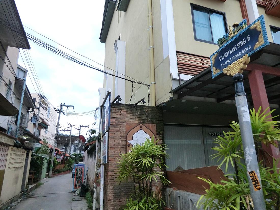 Daibo Taku · CC BY 3.0
What it is
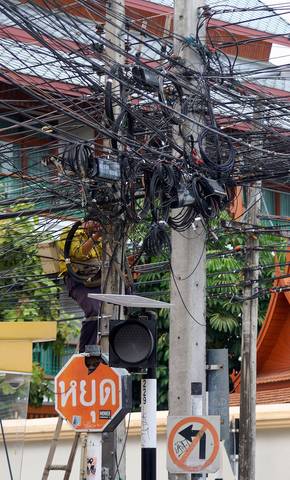
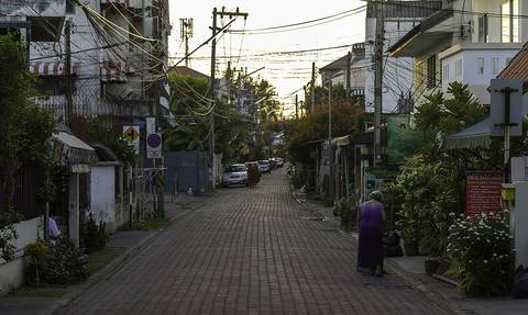
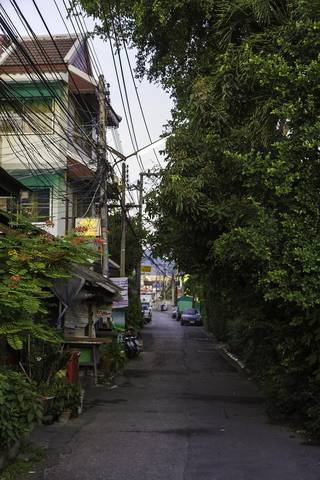
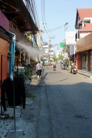
The lanes between houses: residential streets, living streets and service lanes in OpenStreetMap's terms; hom in Kam Mueang, soi on the postal address. The measurements page counts their length, how many end in a dead end, and how many have a name. The highway department counts none of them, because none of them is a highway.
The long version
Inference — a hom is a hom because it goes to houses, not through them. The dead-end share on the measurements page is the number to hold onto: inside the moat the grid of 1296 makes almost every lane come out somewhere; in the rings outside, a lane is a driveway shared by twenty families and it ends at the last one.
Connected to
- ฮ่อม hom The word.
- Dead ends, zone by zone The count.
- How a soi gets its number How they are numbered.
Named here by
- Dead ends, zone by zone The lanes.
- The network, in kilometres Where most of it is.
- Sois, counted by name The lanes.
- ฮ่อม hom The lanes themselves.
Where each claim comes from
| Field | Tier | Source | Note |
|---|---|---|---|
| default | harvested | OpenStreetMap, via Overpass — OpenStreetMap contributors | |
| text_th | inference | written in Thai by this project, in the northern register where it fits; not machine-translated |
Sources
- OpenStreetMap, via Overpass — OpenStreetMap contributors
- พจนานุกรมล้านนา–ไทย — Moradok Lanna
cited Cited — a named source, linked · harvested Harvested — fetched from an open dataset, with its licence · tradition Tradition — general knowledge of the tradition, hedged · inference Inference — this project's own reasoning from the above · field Field — someone stood there