placeThe moat
คูเมือง · Khu Mueang
Six and a half kilometres of water, and a square that is not quite square.
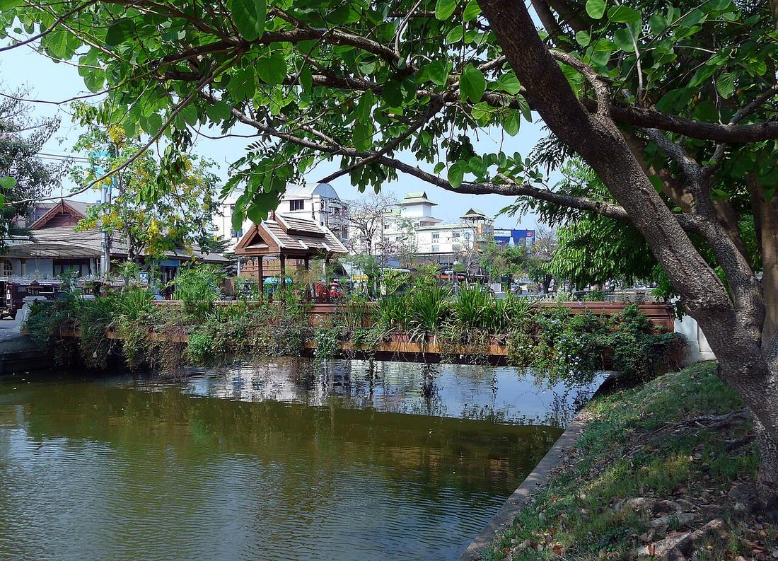 Hartmann Linge · CC BY-SA 4.0
18.7883, 98.9855 · OpenStreetMap · The map
What it is
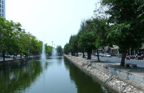
The water square around the old city: 6.54 km round, about 1.6 by 1.7 km, the north side the longest at 1.67 km. About 13 m wide now, up to 25 m once, 4 m deep at most. Dug at the founding in 1296, deepened and given its corner bastions by later rulers.
The long version
About 603 m of the original brick wall survive. The municipality, founded in 1936, began demolishing sections in 1948 to build the roads that now run on both banks. The wall and moat were registered as a national monument in 1935, thirteen years before the demolition began.
Inference — every measurement on this site starts from this square. It is the one thing in the city that has not moved in 730 years, so it is the ruler everything else is laid against.
Connected to
- The moat loop The roads on its banks.
- Hua Lin Corner Where its water comes in.
- The grid score, zone by zone What the streets inside it measure.
- คู khu The word.
Named here by
- The moat loop The water.
- The bridges over the moat What they cross.
- The UNESCO nomination and the roads under it The core.
- 1296 — the square The square.
- The Lanna city map The square it draws.
- The grid score, zone by zone The square.
- Wats, zone by zone The square.
- เวียง wiang What surrounds it.
- Kawila What he restored.
- Mangrai What he dug.
Where each claim comes from
| Field | Tier | Source | Note |
|---|---|---|---|
| default | cited | คูเมืองเชียงใหม่ / กำแพงเมืองเชียงใหม่ — Wikipedia (th) | |
| text_th | inference | written in Thai by this project, in the northern register where it fits; not machine-translated |
Sources
- คูเมืองเชียงใหม่ / กำแพงเมืองเชียงใหม่ — Wikipedia (th)
- กำแพงเมืองและคูเมืองเชียงใหม่ — ทะเบียนแหล่งสิ่งแวดล้อมศิลปกรรม — ONEP, Office of Natural Resources and Environmental Policy and Planning
- Chiang Mai City history timeline — City Heritage Centre, Chiang Mai Municipality
cited Cited — a named source, linked · harvested Harvested — fetched from an open dataset, with its licence · tradition Tradition — general knowledge of the tradition, hedged · inference Inference — this project's own reasoning from the above · field Field — someone stood there