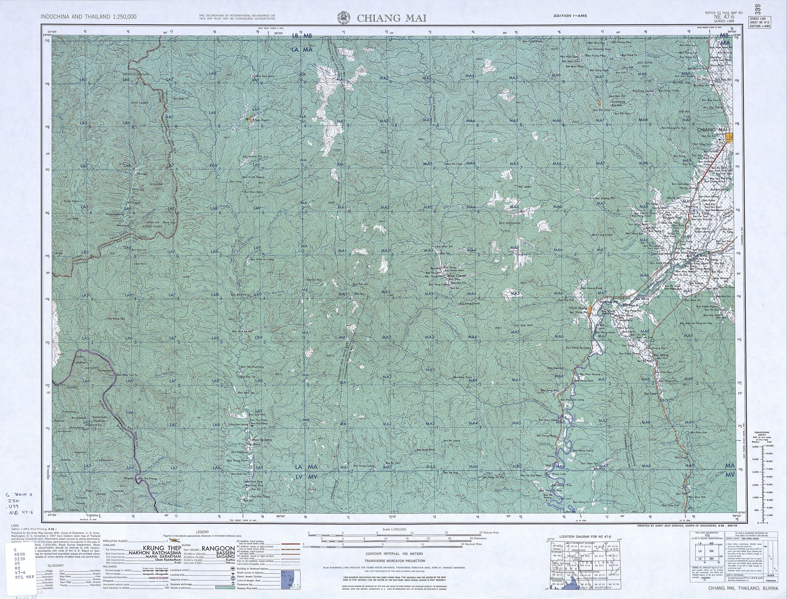
mapThe Army Map Service sheet, NE 47-6 Chiang Mai
แผ่น NE 47-6 เชียงใหม่ ของ Army Map Service
1:250,000, series L509, and the first sheet here with a road classification on it.
 United States Army Map Service · Public domain
What it is
Sheet NE 47-6 of series L509, the US Army Map Service's 1:250,000 cover of Indochina and Thailand, from 1954. It carries the region at the moment before the Superhighway: roads classified by surface and weather, the Lamphun road as the main line south, and no ring of any kind around the city.
The long version
Inference — an army map classifies a road by whether you can get a truck down it in the rains, which is the most useful thing anyone has ever put on a map of this province. The distinction has gone from modern maps, and the road it describes has not.
Connected to
- Route 106, the old road south The main line south on it.
- Route 11, the Superhighway What came fifteen years later.
- 1960s–70s — the Superhighway The era it precedes.
Where each claim comes from
| Field | Tier | Source | Note |
|---|---|---|---|
| default | cited | Wikimedia Commons — the map and photograph files, each with its own licence on its file page — Wikimedia Commons | |
| text_th | inference | written in Thai by this project, in the northern register where it fits; not machine-translated | |
| text.story | inference |
Sources
- Wikimedia Commons — the map and photograph files, each with its own licence on its file page — Wikimedia Commons
cited Cited — a named source, linked · harvested Harvested — fetched from an open dataset, with its licence · tradition Tradition — general knowledge of the tradition, hedged · inference Inference — this project's own reasoning from the above · field Field — someone stood there