placeThe Ping
แม่น้ำปิง · Mae Nam Ping
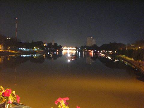
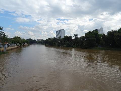
The river the city was built a kilometre away from, on purpose.
 Takeaway · CC BY-SA 3.0
18.7900, 99.0040 · OpenStreetMap · The map
What it is
The river east of the old city. Mangrai put the square on the higher ground between Doi Suthep and the Ping rather than on the bank; the bank flooded then and it floods now. Every bridge across it is counted on this site from the map, and the ones with a story have a record.
The long version
In October 2024 the gauge at Nawarat Bridge, P.1, read 5.30 m at noon on 5 October, 1.10 m over the bank, 638 cubic metres a second. Tha Phae Road flooded from the bridge to the bank at Krung Thai; the Superhighway, the Don Chan and Chiang Kham overpasses, all of Mahidol Road, Warorot Market, the railway station and Nong Prathip junction went under. The water stood about 2 km east of the river.
Connected to
- Road bridges over the Ping, counted How many bridges, counted.
- Nawarat Bridge The gauge is on it.
- The day the river came up Tha Phae The flood, told.
Named here by
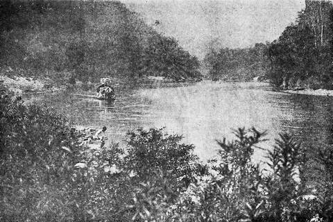
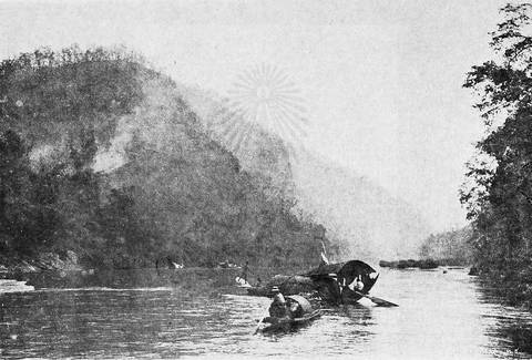
- Bock's route to the north, 1881 How he came up.
- Road bridges over the Ping, counted The river.
- The day the river came up Tha Phae The river.
- Wiang Kum Kam What drowned it.
Where each claim comes from
| Field | Tier | Source | Note |
|---|---|---|---|
| default | cited | Ping River — Wikipedia (en) | |
| text_th | inference | written in Thai by this project, in the northern register where it fits; not machine-translated |
Sources
- Ping River — Wikipedia (en)
- น้ำท่วมเชียงใหม่ 7 ต.ค. 2567 — ถนนที่จม — Lanner
- น้ำท่วมเชียงใหม่ 2567 — ระดับน้ำ P.1 — Thai PBS
- น้ำปิงท่วมเชียงใหม่ ต.ค. 2567 — Bangkok Biz News
cited Cited — a named source, linked · harvested Harvested — fetched from an open dataset, with its licence · tradition Tradition — general knowledge of the tradition, hedged · inference Inference — this project's own reasoning from the above · field Field — someone stood there