roadMahidol Road
ถนนมหิดล · Thanon Mahidon
The busiest count in the province: 121,403 vehicles a day at km 7, and 26,366 motorcycles on top.
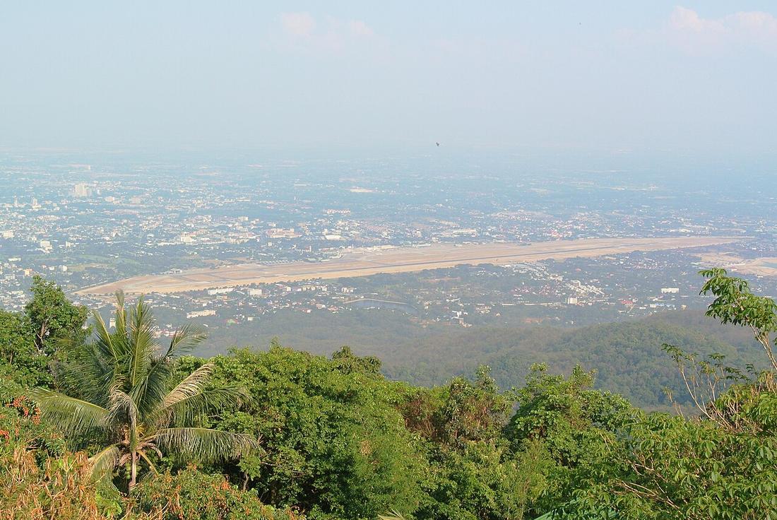 Adbar · CC BY-SA 3.0
from Don Chan to Suan Prung
18.7700, 98.9900 · OpenStreetMap · The map
What it is
Route 1141, 7.565 km, Don Chan on the Superhighway west past Nong Hoi, over the railway and the Ping, past the airport junction to Suan Prung. Surveyed 1970, built 1972 as a two-lane bypass fixed in the comprehensive plan of the day, widened to six lanes in 1998–2001. The southern arc of the first ring. The 2025 count at km 7 read 121,403 four-wheeled vehicles a day and 26,366 motorcycles.
The long version
Inference — the whole of it went under water in October 2024. The busiest road in the north sits on the floodplain the city's founders avoided.
Connected to
- Ring 1, the Superhighway ring Its southern arc.
- The busiest count in the province The count.
- Airport junction On it.
- Nong Hoi junction On it.
Named here by
- Ring 1, the Superhighway ring South.
- Airport junction On it.
- Nong Hoi junction On it.
- 1960s–70s — the Superhighway The southern arc.
- The busiest count in the province The road.
- The airport, by passengers The way out.
- The day the river came up Tha Phae Under water.
- Chiang Mai Airport Threaded past it.
Where each claim comes from
| Field | Tier | Source | Note |
|---|---|---|---|
| default | cited | ถนนมหิดล (เชียงใหม่) — Wikipedia (th) | |
| text_th | inference | written in Thai by this project, in the northern register where it fits; not machine-translated |
Sources
- ถนนมหิดล (เชียงใหม่) — Wikipedia (th)
- การขยายตัวของเมืองเชียงใหม่ตามแนวถนน — วิทยานิพนธ์ภูมิศาสตร์ ม.เชียงใหม่ 2548, บทที่ 3 — Chiang Mai University Library
- ปริมาณจราจรเฉลี่ยต่อวันตลอดปี (AADT) — open data 2560–2568 — กรมทางหลวง Department of Highways
- น้ำท่วมเชียงใหม่ 7 ต.ค. 2567 — ถนนที่จม — Lanner
cited Cited — a named source, linked · harvested Harvested — fetched from an open dataset, with its licence · tradition Tradition — general knowledge of the tradition, hedged · inference Inference — this project's own reasoning from the above · field Field — someone stood there