storyWhat this site does not have
สิ่งที่เว็บนี้บ่มี
A list, so nobody has to guess.
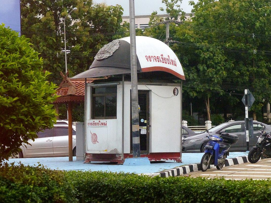 User:Amada44 · CC BY-SA 4.0
What it is
No live traffic. No accident locations by road: nobody publishes them for these roads, so the deaths page is by province and year. No registered-vehicle count for the province: the land transport department's table sits behind a form this project could not read, and the figure on the traffic page is from a 2005 thesis. No year for the moat's one-way system, no length for the earthen wall, no opening years for the airport and Nong Hoi underpasses, no count of sois from the municipality. No bus timetable; the songthaew has none. No motorway that exists.
No photographs of the thing this site is about. Wikimedia Commons has the moat from every angle, all five gates, all four corners and the 1893, 1931 and 1945 maps, and it has almost nothing of the Superhighway, the ring roads, the underpasses, Mahidol Road or the light rail. Searches for each returned zero free files. The old city is photographed as heritage; the roads that carry the city are photographed by nobody.
The long version
Everything above is a gap in what was found, not a claim that it does not exist. The disk is a subset of the world.
Connected to
- Road deaths, by province and year By province, not by road.
- The moat loop No year for the one-way.
Named here by
- Road deaths, by province and year No locations by road.
- Roads versus vehicles, 1992 to 2003 No current registration figure.
Where each claim comes from
| Field | Tier | Source | Note |
|---|---|---|---|
| default | inference | OpenStreetMap, via Overpass — OpenStreetMap contributors | |
| text_th | inference | written in Thai by this project, in the northern register where it fits; not machine-translated |
Sources
- OpenStreetMap, via Overpass — OpenStreetMap contributors
cited Cited — a named source, linked · harvested Harvested — fetched from an open dataset, with its licence · tradition Tradition — general knowledge of the tradition, hedged · inference Inference — this project's own reasoning from the above · field Field — someone stood there