era1796–1900 — Kawila's rebuilding
2339–2443 — ยุคพระเจ้ากาวิละ
The city is re-peopled, the moat re-dug, and the first trees planted along a road.
 FredTC · CC BY-SA 4.0
What it is
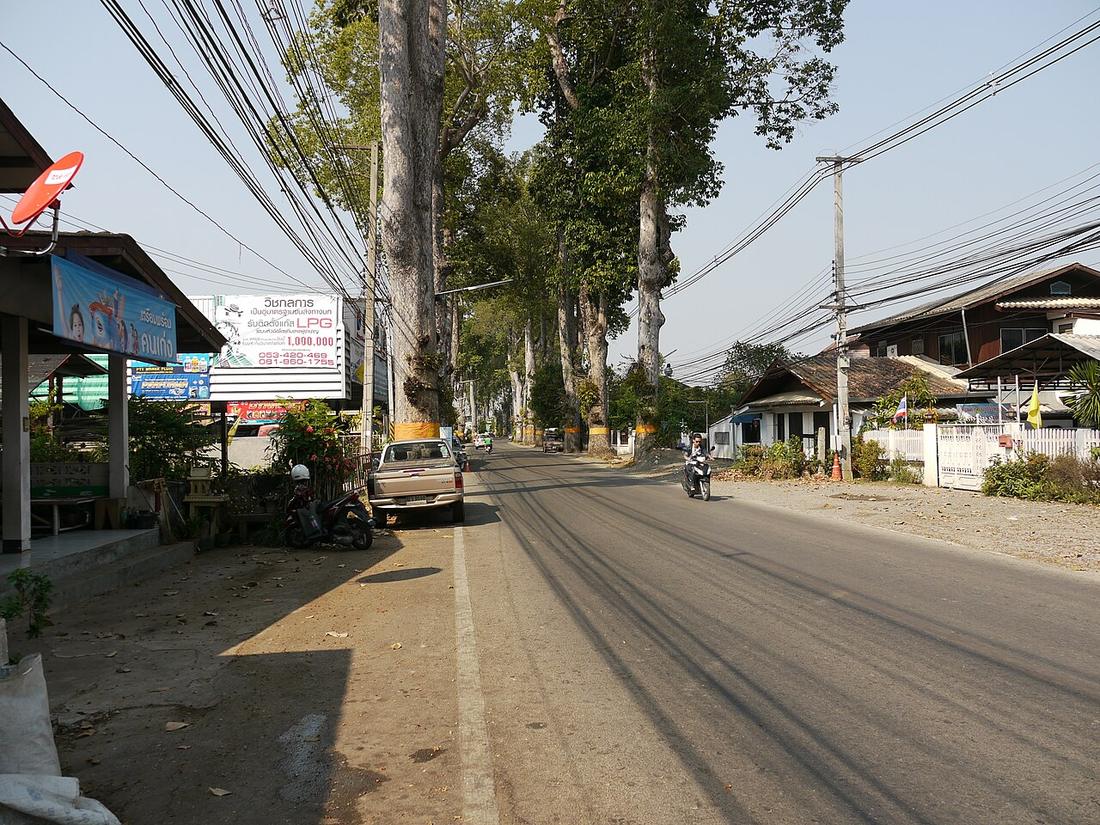
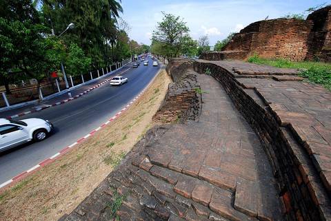
Kawila re-enters the empty city in 1796, restores the walls and gives the corners their bastions. Through the century Siam's hold tightens; the first teak bridge crosses the Ping about 1890; the yang-na trees go in along the Lamphun road, 1882 by one account; the Hang Dong road is built in 1899 with khi-lek trees for the Burma trade.
The long version
Inference — the century's road-building is all outside the moat and all radial: a bridge east, an avenue south, a trade road southwest. The square was left alone. That pattern held for another fifty years.
Connected to
- Kawila The ruler.
- The Yang Tree Road, Chiang Mai to Lamphun The trees.
- Nawarat Bridge The first bridge.
Named here by
- The 1893 map for Inthawichayanon Its era.
- Pavie's itineraries, 1880–1884 Its era.
- Kawila His era.
Where each claim comes from
| Field | Tier | Source | Note |
|---|---|---|---|
| default | cited | Kawila — Wikipedia (en) | |
| text_th | inference | written in Thai by this project, in the northern register where it fits; not machine-translated | |
| text.story | inference |
Sources
- Kawila — Wikipedia (en)
- ต้นยางนาถนนเชียงใหม่–ลำพูน — Thai PBS
- การขยายตัวของเมืองเชียงใหม่ตามแนวถนน — วิทยานิพนธ์ภูมิศาสตร์ ม.เชียงใหม่ 2548, บทที่ 3 — Chiang Mai University Library
- สะพานนวรัฐ — Wikipedia (th)
cited Cited — a named source, linked · harvested Harvested — fetched from an open dataset, with its licence · tradition Tradition — general knowledge of the tradition, hedged · inference Inference — this project's own reasoning from the above · field Field — someone stood there