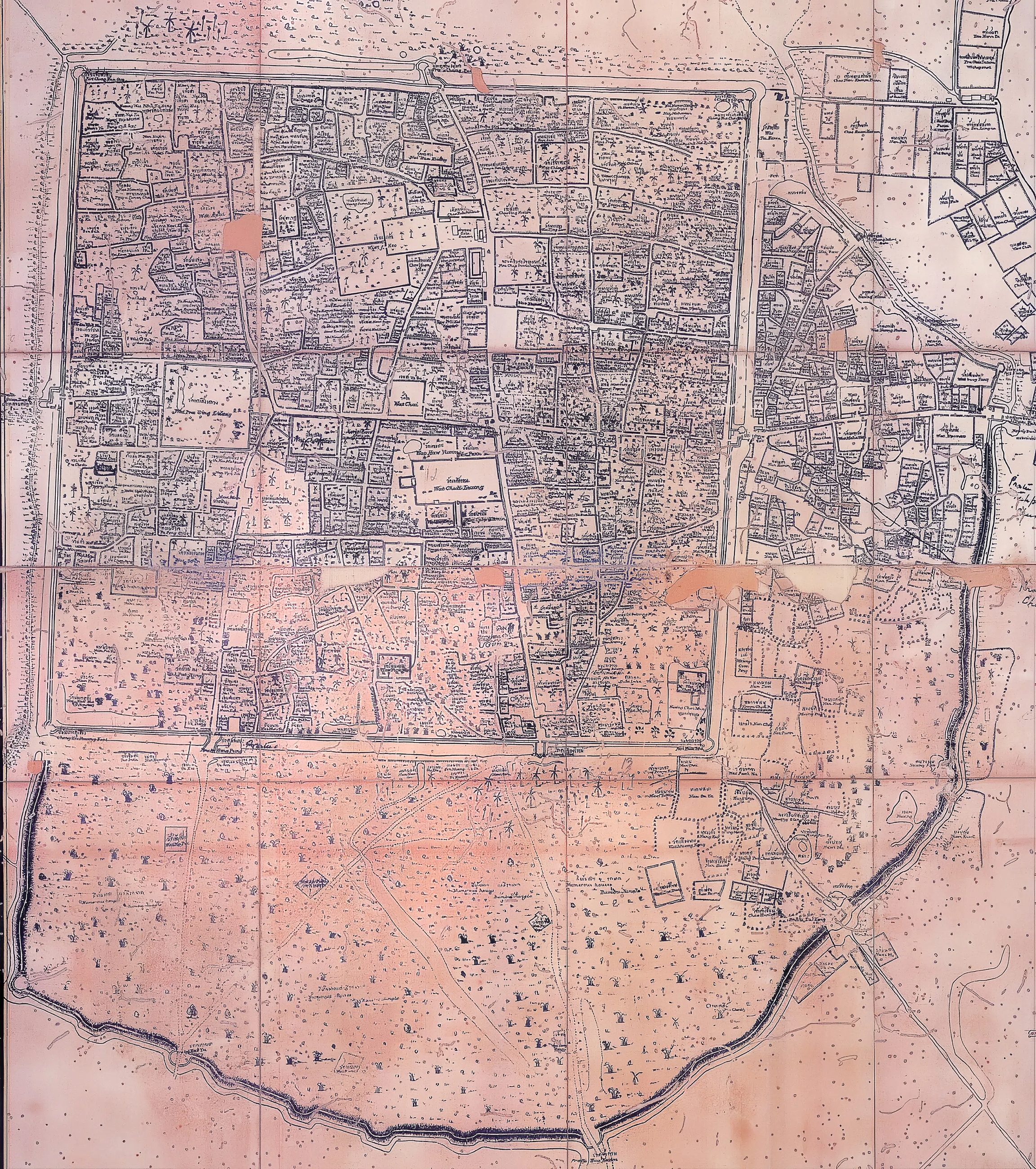
mapThe 1893 map for Inthawichayanon
แผนที่ 2436 สำหรับพระเจ้าอินทวิชยานนท์
Two walls, drawn for a king who still had a court.
 Unknown author · Public domain
What it is
Drawn for King Inthawichayanon, the last ruler before Siam's commissioners took the north in hand. It shows both walls: the inner brick square and the outer earthen bank curving round the trading quarter to the east.
Connected to
- Kamphaeng Din, the earthen wall The wall it still shows.
- Chao Phraya Surasi Wisitsak The commissioner who followed.
- 1796–1900 — Kawila's rebuilding Its era.
Where each claim comes from
| Field | Tier | Source | Note |
|---|---|---|---|
| default | cited | Wikimedia Commons — the map and photograph files, each with its own licence on its file page — Wikimedia Commons | |
| text_th | inference | written in Thai by this project, in the northern register where it fits; not machine-translated |
Sources
- Wikimedia Commons — the map and photograph files, each with its own licence on its file page — Wikimedia Commons
cited Cited — a named source, linked · harvested Harvested — fetched from an open dataset, with its licence · tradition Tradition — general knowledge of the tradition, hedged · inference Inference — this project's own reasoning from the above · field Field — someone stood there