↻ Clockwise
Either way round. That is rather the point of a rehearsal.
วงรอบสะเมิง ซ้อมใหญ่
A hundred kilometres from your hotel that tells you what four days would be.
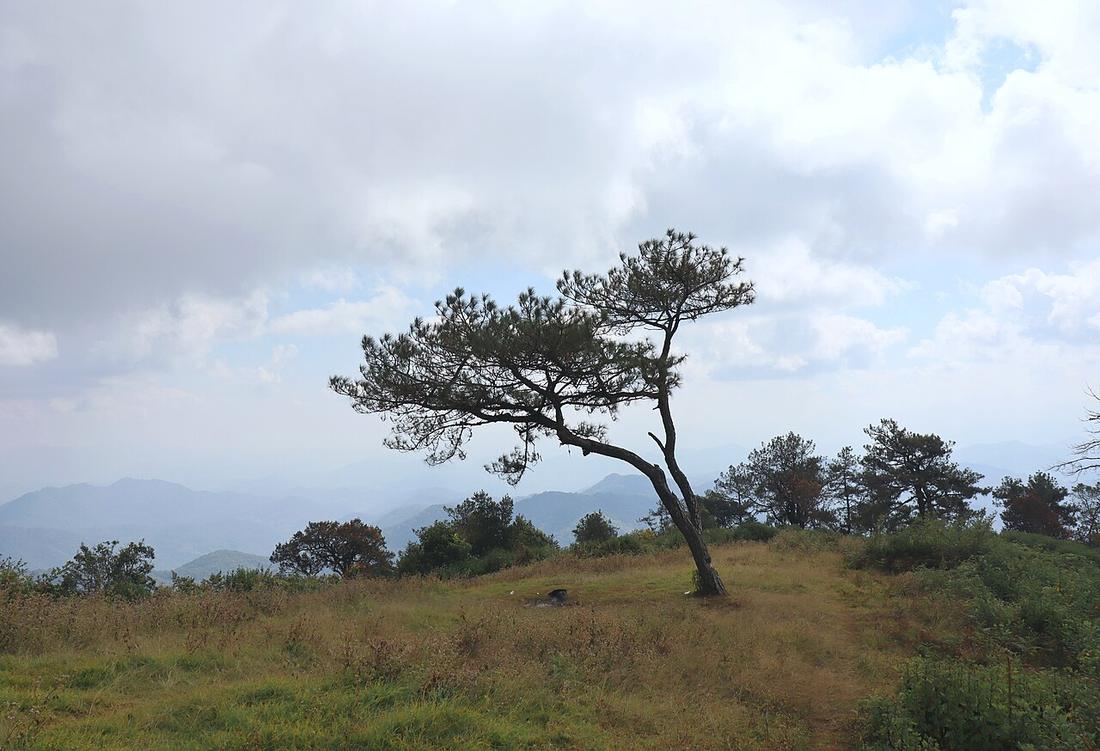 Catchiangmai · CC BY-SA 4.0
Either way round. That is rather the point of a rehearsal.
Either way round.
7.38curves per kilometre — its hardest two kilometres
Chiang Mai to Mae Rim, Route 1096 to Samoeng, and back. A day. Not part of the loop.
Inference — this is the single most useful thing on this site for a rider who is not sure, and it costs a day.
Measured off OSM, Route 1096 carries 6.34 curves a kilometre over its 29.8-kilometre run — the densest road measured anywhere on this network, against Route 1095's 5.71. So the Samoeng day is the same riding in miniature, an hour from a city with a hospital, on the bike you have just rented, with your luggage still in the room.
What it tells you: whether the rental is sound, whether the brakes fade, whether your wrists last, whether a pillion enjoys it, and whether four days of this is a holiday or an ordeal. Anyone who finishes it tired and happy should go. Anyone who finishes it tired and quiet has learned something worth a day.
| Smallest sensible bike | Automatic scooter, 110–160cc |
|---|---|
| Difficulty | You have ridden hills before |
| Pillion | Fine |
The same difficulty as the circuit, one hour from help.
| Field | Tier | Source | Note |
|---|---|---|---|
| default | inference | leg description is this project's, built on the measured geometry and the cited road articles | |
| text_th | inference | written in Thai by this project, not machine-translated |
cited Cited — a named source, linked · harvested Harvested — fetched from an open dataset, with its licence · tradition Tradition — general knowledge of the tradition, hedged · inference Inference — this project's own reasoning from the above · field Field — someone stood there