↻ Clockwise
Day one. Short, hard, and done on fresh arms — which is the whole case for going this way round.
เชียงใหม่ – ปาย
Three hundred and ninety-five curves in ninety-five kilometres, and a town at the end of them.
 ::::=UT=:::: · CC BY-SA 3.0
Day one. Short, hard, and done on fresh arms — which is the whole case for going this way round.
The last leg. Four days of hills already in your forearms, and the descent into Mae Taeng at the end of it.
8.93curves per kilometre — its hardest two kilometres
Route 107 north out of the city to the Route 1095 turn, then over the hills to Pai. The shortest leg of the circuit by distance and the one people most often underestimate by time.
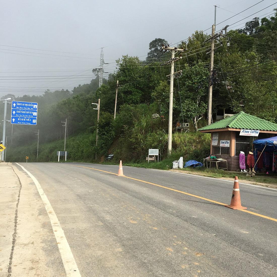
The first thirty-five kilometres are Route 107, which is a wide, busy road out of a city and is not what you came for. The ride begins at the turn.
Inference — measured off the OSM trace, the Mae Malai to Pai section of Route 1095 is 94.5 kilometres carrying 580 curves at a 25-degree threshold, 65 of them hairpins — 4.28 curves a kilometre, the densest sustained stretch on the whole circuit. The hardest two kilometres measured anywhere on 1095 are in here, at 7.45 curves a kilometre.
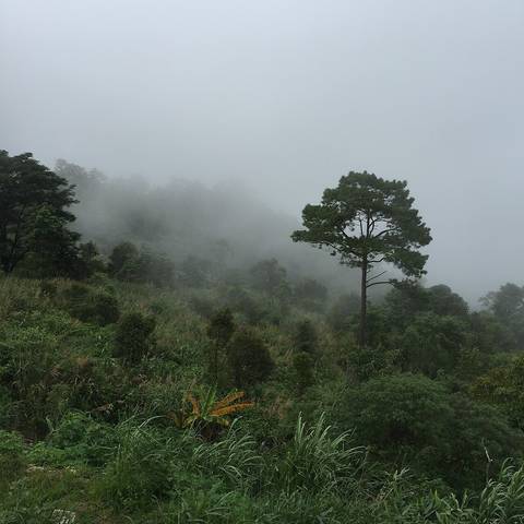
What that means in practice is that the hundred kilometres takes three hours, not ninety minutes, and it takes longer than that if you stop — which you will, because the climb out of the Mae Taeng valley has the views.
This is also the leg the merchandise is about. The sign says 1,864 curves; the count over this span says 395 at 25 degrees, 450 at 15. What 1,864 would mean over 94.5 kilometres is a curve every 51.9 metres.
| Smallest sensible bike | Automatic scooter, 110–160cc |
|---|---|
| Difficulty | You have ridden hills before |
| Pillion | Fine |
A 110 automatic does this leg every day of the week. It does it slowly, and it needs the descents taken in stages.
The climb is fine loaded; it is the Pai descent where the extra weight is felt.
| Field | Tier | Source | Note |
|---|---|---|---|
| default | harvested | Curve and distance measurements off the OSM polyline — This project | |
| text.story | inference | curve figures measured off OSM; timing is this project's estimate and is not sourced | |
| text_th | inference | written in Thai by this project, not machine-translated |
cited Cited — a named source, linked · harvested Harvested — fetched from an open dataset, with its licence · tradition Tradition — general knowledge of the tradition, hedged · inference Inference — this project's own reasoning from the above · field Field — someone stood there