↻ Clockwise
Leaves Route 108 heading east; climbs, then drops a long way into Mae Chaem.
ทางลัด 1263
Sixty-four kilometres that halve the loop, and the hardest riding on it.
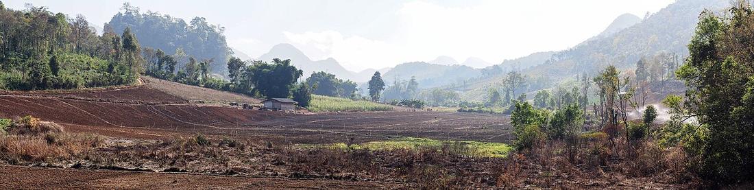 Takeaway · CC BY-SA 3.0
Leaves Route 108 heading east; climbs, then drops a long way into Mae Chaem.
From Mae Chaem westward; the climb comes first and Mae Hong Son is still ahead.
7.3curves per kilometre — its hardest two kilometres
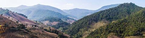
Khun Yuam east to Mae Chaem. Optional. A three-day loop instead of a four-day one, bought with the steepest and most curve-dense road here.
Inference — over the 38.1 kilometres OpenStreetMap has mapped of it: 159 curves at a 25-degree threshold, 25 hairpins, 4.25 a kilometre — denser than Route 1095, with a fraction of the traffic and none of the infrastructure. The road runs roughly 64 km; the rest is not traced, so the totals here are a floor.
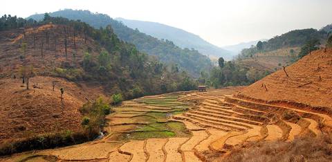
What it actually costs. There is no town between the two ends. There are long stretches with no fuel. There are stretches with no phone signal. The gradients are steeper than anything on 1095 and some of the seal has broken up. If something goes wrong here, it goes wrong somewhere that nobody is passing.
Inference — the recommendation this project would make, and it is a recommendation rather than a fact: take it on a trail bike or a midweight, in the dry, with a full tank, before noon, and not alone if that can be arranged. Take it on a 110 automatic only if you have already ridden Route 1095 and found it comfortable. In the rains, do not take it at all.
| Smallest sensible bike | Small manual, 150–300cc |
|---|---|
| Difficulty | You are comfortable with a loaded bike on a steep descent |
| Pillion | Think about it |
The one leg on this circuit where the bike and the rider both matter.
Loaded, on a heavy bike, on a wet descent, this is the hardest thing here by a distance.
Off the plan. Steep, broken seal, and nobody passing.
| Field | Tier | Source | Note |
|---|---|---|---|
| default | harvested | Curve and distance measurements off the OSM polyline — This project | |
| text.story | inference | curve figures measured; fuel, signal and surface descriptions are general and are not sourced to a survey — treat them as a floor, not a report | |
| text_th | inference | written in Thai by this project, not machine-translated |
cited Cited — a named source, linked · harvested Harvested — fetched from an open dataset, with its licence · tradition Tradition — general knowledge of the tradition, hedged · inference Inference — this project's own reasoning from the above · field Field — someone stood there