↻ Clockwise
Ridden north then west: the long climb out of the Mae Taeng valley first, then the drop into Pai.
ทางหลวงแผ่นดินหมายเลข 1095
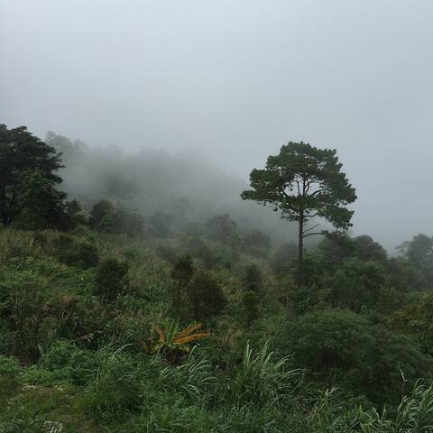
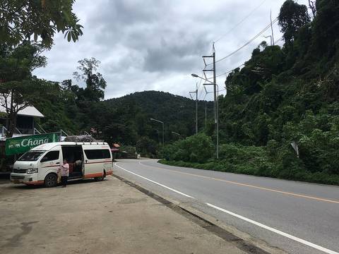
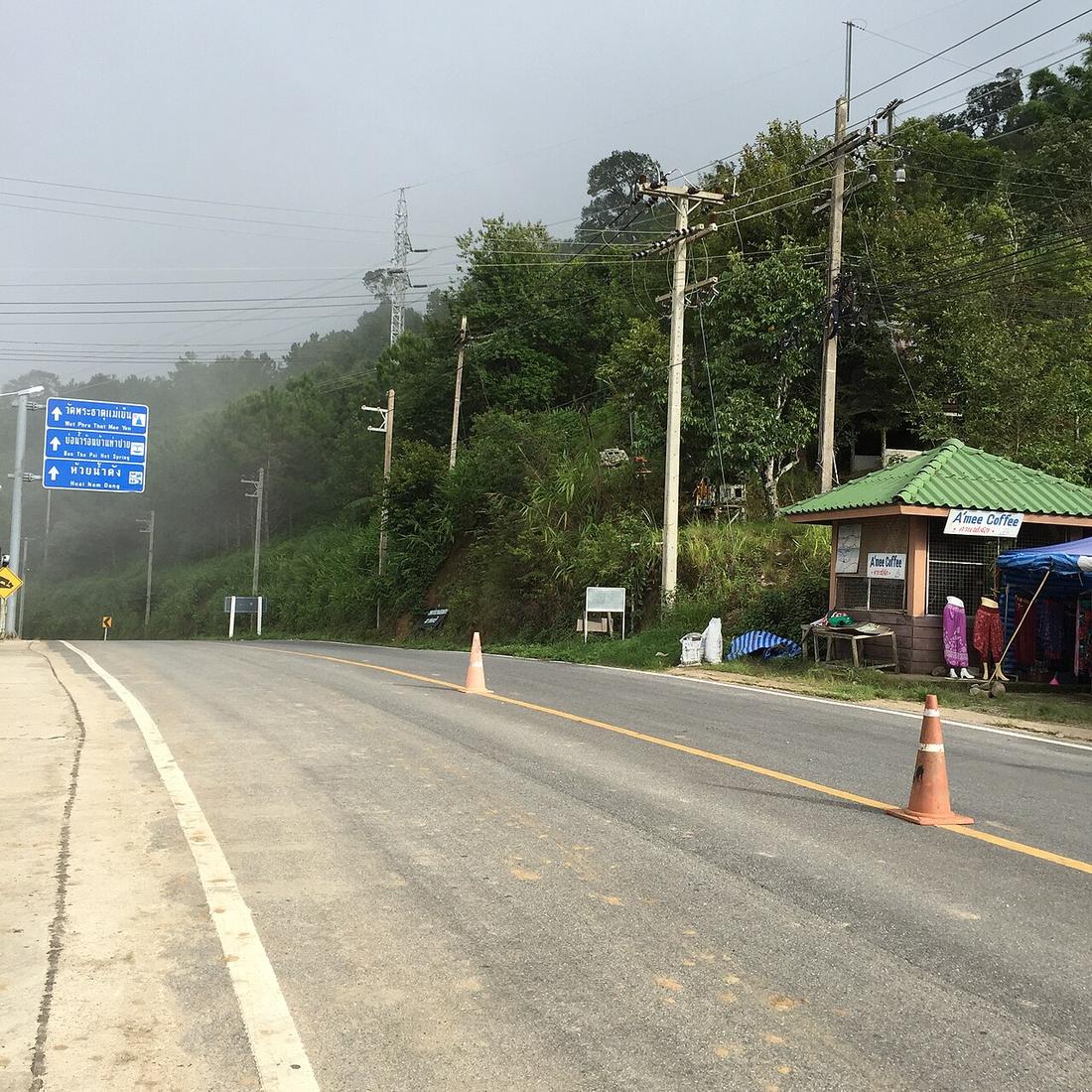
The curve road. Two lanes, the whole way, and it does not stop.
 ::::=UT=:::: · CC BY-SA 3.0
Ridden north then west: the long climb out of the Mae Taeng valley first, then the drop into Pai.
Ridden east: the climb out of Mae Hong Son, then Pangmapha, then the descent to Mae Malai at the end of the day.
8.93curves per kilometre — its hardest two kilometres
Nong Khong on Route 107, over the hills to Pai, through Pangmapha, and down into Mae Hong Son. Sealed two lanes end to end. The most curve-dense long road on the circuit.
Thai Wikipedia's article gives the route as Nong Khong to Mae Hong Son, two lanes both ways, and notes that it was formerly called the Mae Malai–Mae Hong Son highway and is still usually called the Mae Malai–Pai road. In 1994 a new alignment moved its start from Mae Malai market to Ban Nong Khong on Route 107, as a Mae Malai bypass; the old alignment became rural road Chiang Mai 3045. The spur into Pai town itself is Route 1395, leaving 1095 at km 96+035 and rejoining at km 99+303. The article describes the road as known for being winding, กว่า 2,000 โค้ง — more than 2,000 curves — and steep, and gives Chiang Mai to Mae Hong Son by this road as about 245 kilometres.
Inference — measured off the OpenStreetMap trace of the road, the longest stitched run of Route 1095 is 185 kilometres carrying 1,056 curves at a 25-degree threshold, 110 of them hairpins — about nearly six curves a kilometre, one every 254 metres. The section from Mae Malai to Pai alone carries 395. The method and its sensitivity are on /numbers/.
| Field | Tier | Source | Note |
|---|---|---|---|
| default | cited | ทางหลวงแผ่นดินหมายเลข 1095 — Wikipedia (th) | |
| text.story | cited | ทางหลวงแผ่นดินหมายเลข 1095 — Wikipedia (th) | the second paragraph is marked as this project's own measurement off OSM |
| text_th | inference | written in Thai by this project; the quoted phrase กว่า 2,000 โค้ง is verbatim from the cited article |
cited Cited — a named source, linked · harvested Harvested — fetched from an open dataset, with its licence · tradition Tradition — general knowledge of the tradition, hedged · inference Inference — this project's own reasoning from the above · field Field — someone stood there