era1900–1950 — Siam and the railway
2443–2493 — สยามกับรถไฟ
The train arrives, a gate is demolished for a straight road, and the moat gets its ring.
 Unknown author · Public domain
What it is
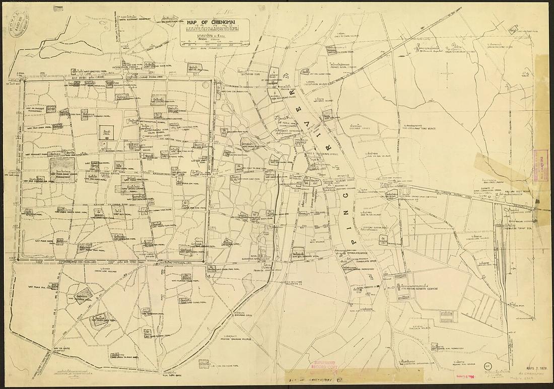
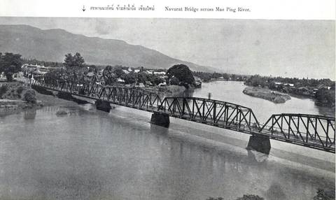
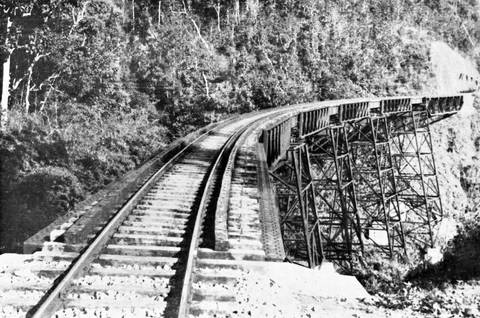
The railway reaches the east bank on 1 January 1921 and Tha Phae becomes the commercial street. Between 1910 and 1915 Chang Moi Gate and its earth bank are removed to run Ratchawithi Road straight to the river. The steel Nawarat Bridge opens 1923. The municipality is founded 1936 and in 1948 builds the roads on both banks of the moat, demolishing stretches of the wall registered as a monument thirteen years before.
The long version
Inference — 1948 is the year the square stopped being a fortification and became a roundabout. Everything the one-way loop does to the old city, for good and ill, dates from that decision.
Connected to
- Chang Moi Gate Removed.
- The moat loop Built 1948.
- Chiang Mai railway station Arrived 1921.
Named here by
- Chang Moi Gate Its era.
- The 1931 city map Its era.
- The 1945 city map Its era.
- What a road does to an old city When the walls went.
- Chiang Mai railway station Its era.
Where each claim comes from
| Field | Tier | Source | Note |
|---|---|---|---|
| default | cited | Chiang Mai City history timeline — City Heritage Centre, Chiang Mai Municipality | |
| text_th | inference | written in Thai by this project, in the northern register where it fits; not machine-translated | |
| text.story | inference |
Sources
- Chiang Mai City history timeline — City Heritage Centre, Chiang Mai Municipality
- ถนนช้างม่อย — Wikipedia (th)
- สถานีรถไฟเชียงใหม่ — Wikipedia (th)
- สะพานนวรัฐ — Wikipedia (th)
cited Cited — a named source, linked · harvested Harvested — fetched from an open dataset, with its licence · tradition Tradition — general knowledge of the tradition, hedged · inference Inference — this project's own reasoning from the above · field Field — someone stood there